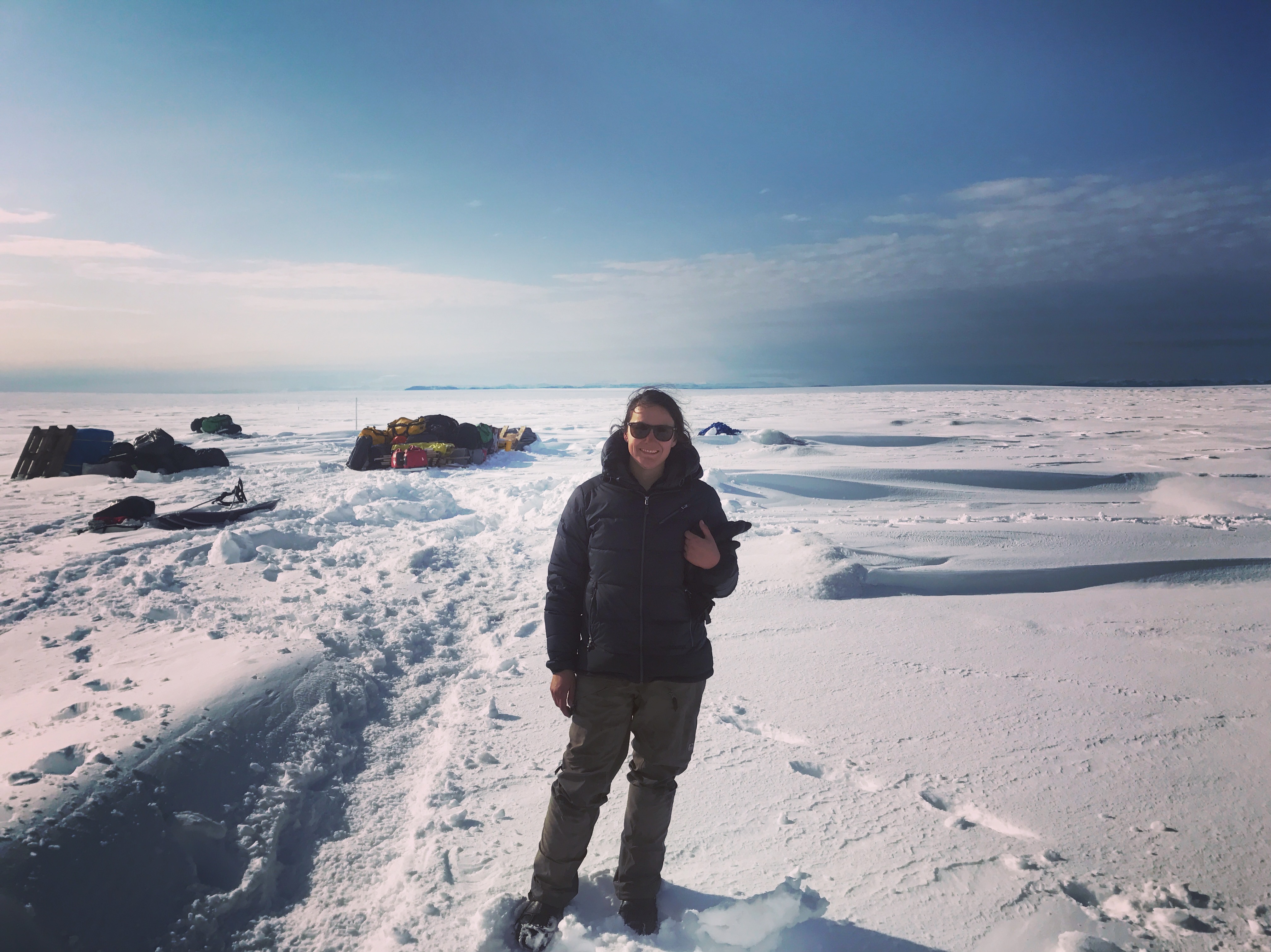
Jessica Mejia, Greenland Ice Sheet - High Camp - August 2017
N 69° 32' 45.6"
W 49° 42' 03.6"
Understanding the hydrology of the Greenland Ice Sheet

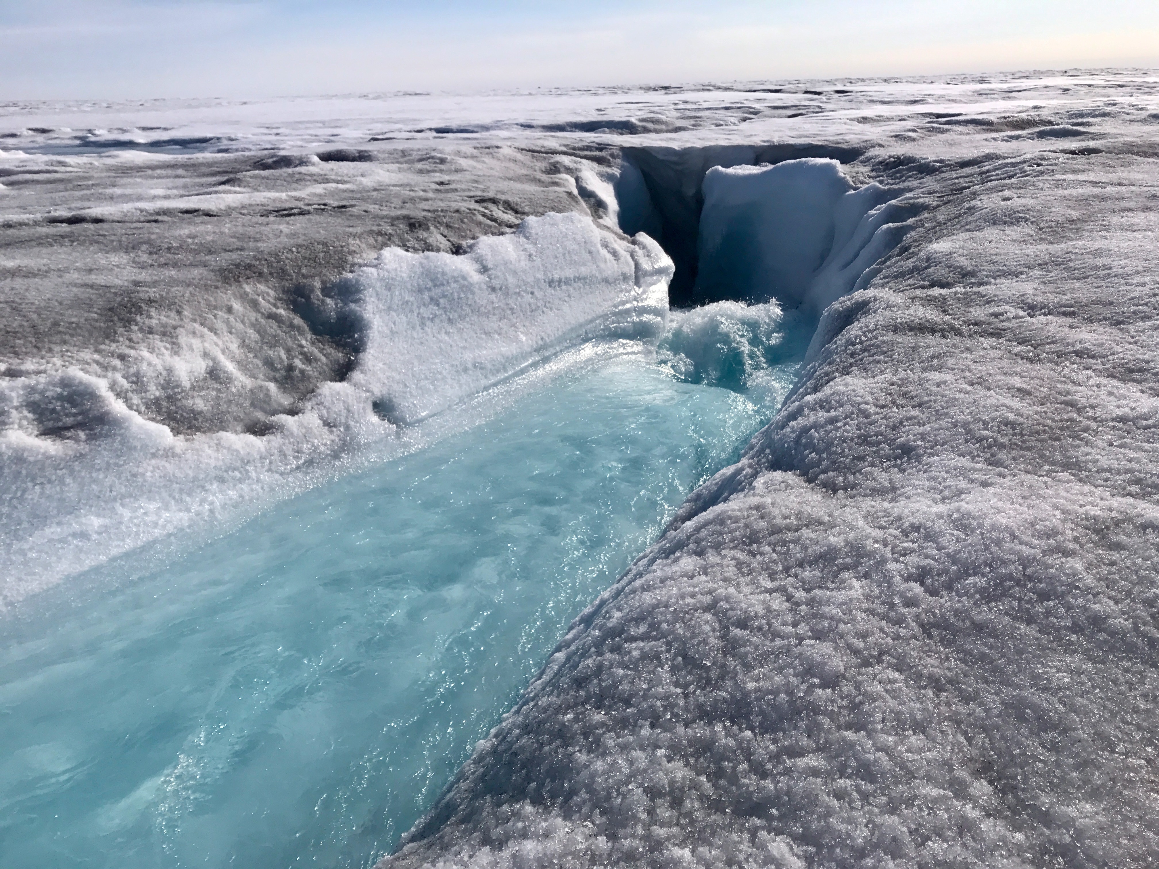
Radical Moulin, instrumented in order to measure hydraulic head variations.
By instrumenting the moulin and measuring hydraulic head variations over time as well as measuring both water input to the moulin, melt, and ice velocity we can understand the relationship between water input to the bed of glaciers and ice velocity. This problem is important because in order to accurately model sea level rise we must first understand the basic physics governing glaciers.

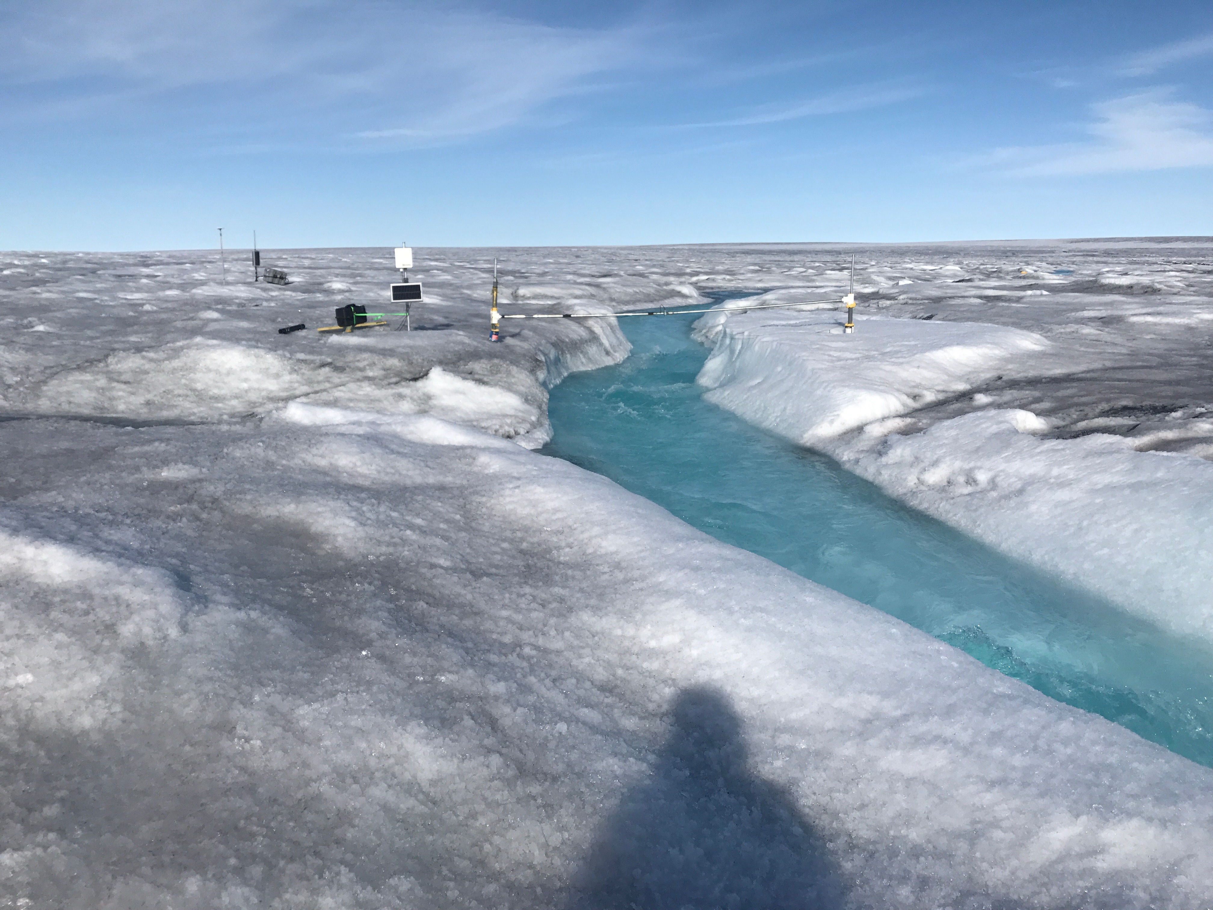
A ultrasonic water level sensor to calculate the amoutn of water going into the moulin

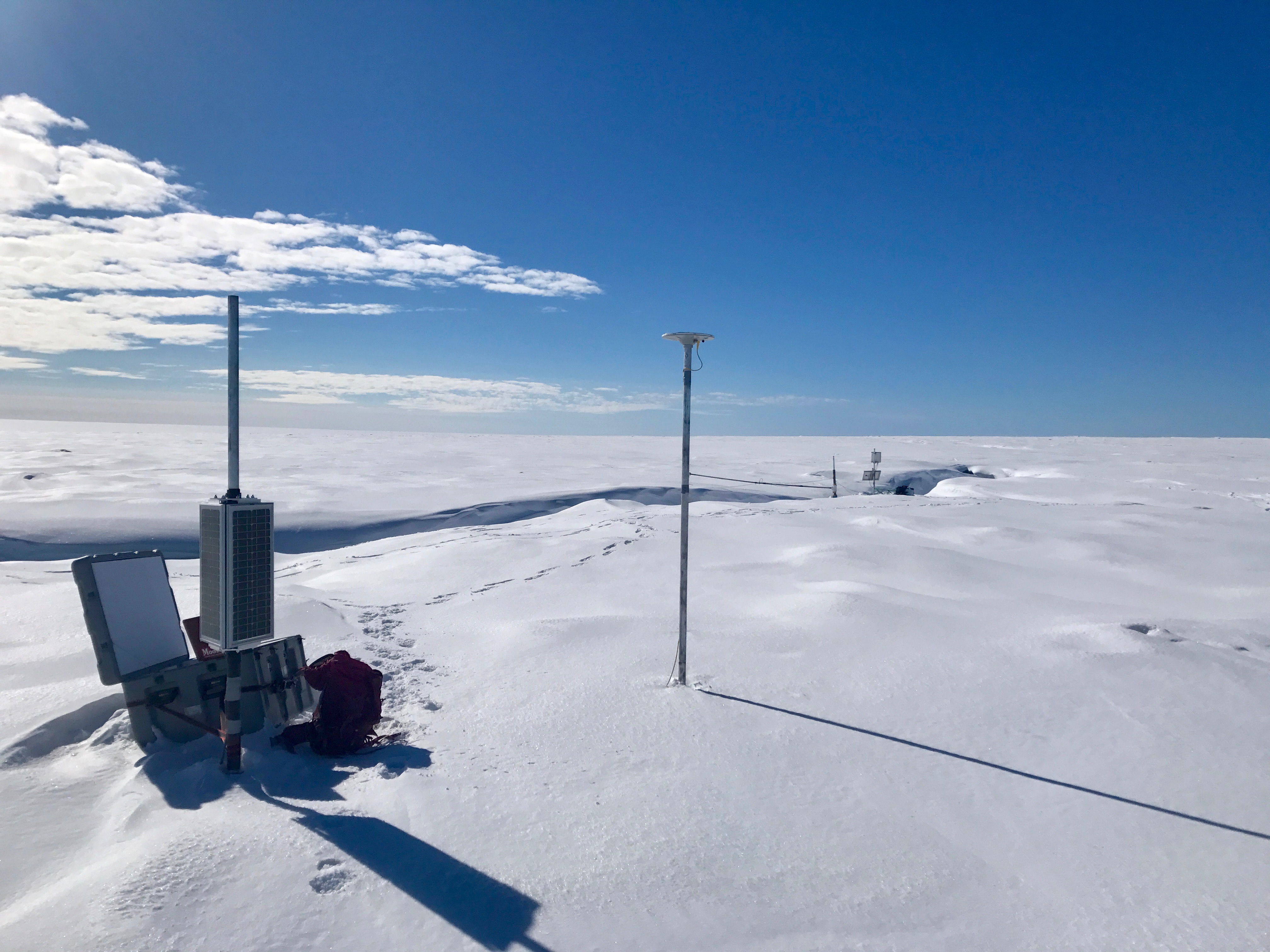
GPS Station
The images above are from the instrument deployment at "High Camp" which is further into the ice sheet where the ice thickness is approximately 750 m. The second camp where the same set of instrumentation was deployed is called "Thin Camp", located closer to the ice margin where the ice thickness is approximately 300 m. By instrumenting two locations of different ice thicknesses we will be able to additionally understand how meltwater delivery to the bed of the glacier varies as a funciton of ice thickness.